
PyreneesIn the last few years, we have mixed city and nature touring in our foreign trips. It works out pretty well; in addition to having an excuse for indulging in good food, we have no more complaints about "too many cathedrals" (or temples). With the exception of the Inca Trail (a guide is required by law) and St. Petersburg (not only we don't know Russian, we don't even know the alphabets), we planned our own tours. Figuring out what to do in cities is easy - there are tons of tour books available. However, picking hiking trails in a foreign country can be a daunting task. One can always Google it. But the problem is that there is too much information. For example, Googling hiking in the Pyrennes leads to information on the GR10 (France) and GR11 (Spain) trails. These two 800-km long trails stretch from the Mediterranean to the Atlantic Ocean along the Pyrenees. One can spend days drilling into the websites for information in order to decide where to hike - choosing several tens of km out of 800 km of trails. That is where hiking books come in. We can flip through the pages quickly to look for the hikes that fit our fancy. It worked - that was how we planned the hikes in the Pyrenees (and earlier ones in Switzerland). When we decided to go to the Pyrenees, we wanted to hike hut-to-hut. But we found out that our timing was off. Most of the huts are closed at the end of September (end of hiking season). Only one hut (refugio) is open year round - Refugio Goriz in the Odessa National Park in Spain. There is another hut that is open on weekends near Gavarnie on the French side. But we abandoned this idea since it involved too much logistics - timing as well as how to get back from France to Spain. It might as well since there was snow in the pass between the two huts - snow gears and snow hiking experience (which we have none) are needed. We rented a car at the Barcelona Airport to drive to Odessa National Park in Aragon (a 4 hour drive). Driving is easy in Catalonia and Aragon, especially in the countryside. Drivers are well-behaved. The only problem we encountered was getting gasoline. In the small towns, frequently there is nobody manning the stations, especially during their long lunch hours. So we have to figure which type of gasoline (in Spanish/Catalan) we need at the pumps. Then we have to figure out how much gas to get; we didn't see (or at least understood) the words "fill up". Then we tried to use our credit card with chip (the much-touted US chip and sign cards) but they didn't work since the pumps required a pin. Out of desperation I put in our debit card (which has no chip but has a pin). But to our surprise, the pump accepted it, and viola, the transaction went through after we entered the pin. We were saved! We stayed in a quaint mountain town Torla outside the park and then drove into the park (the left red dot on the map) the next morning for our hike to Refugio Goriz. After staying at the hut for two nights, we hiked back to the car and drove around the mountain to the west side of the park (the right red), stayed in a parador and did a day hike. We were super lucky with the weather - no rain when we were in the mountains. The only rain happened on the day when we drove around the mountain! 


Refugio (Hut) Goriz
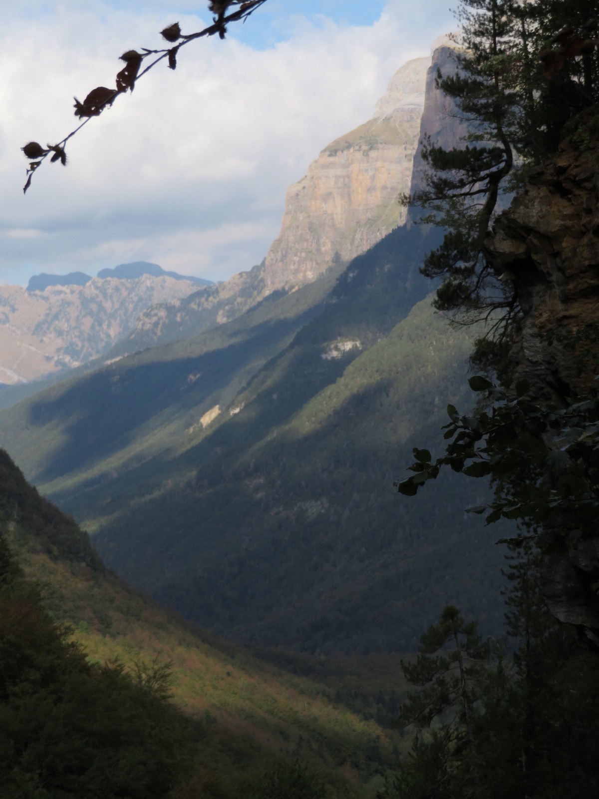


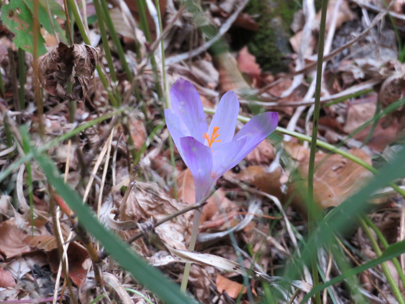

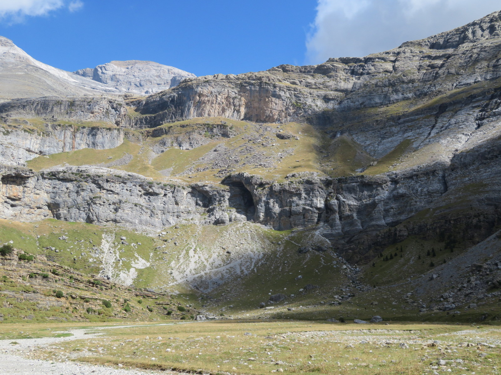

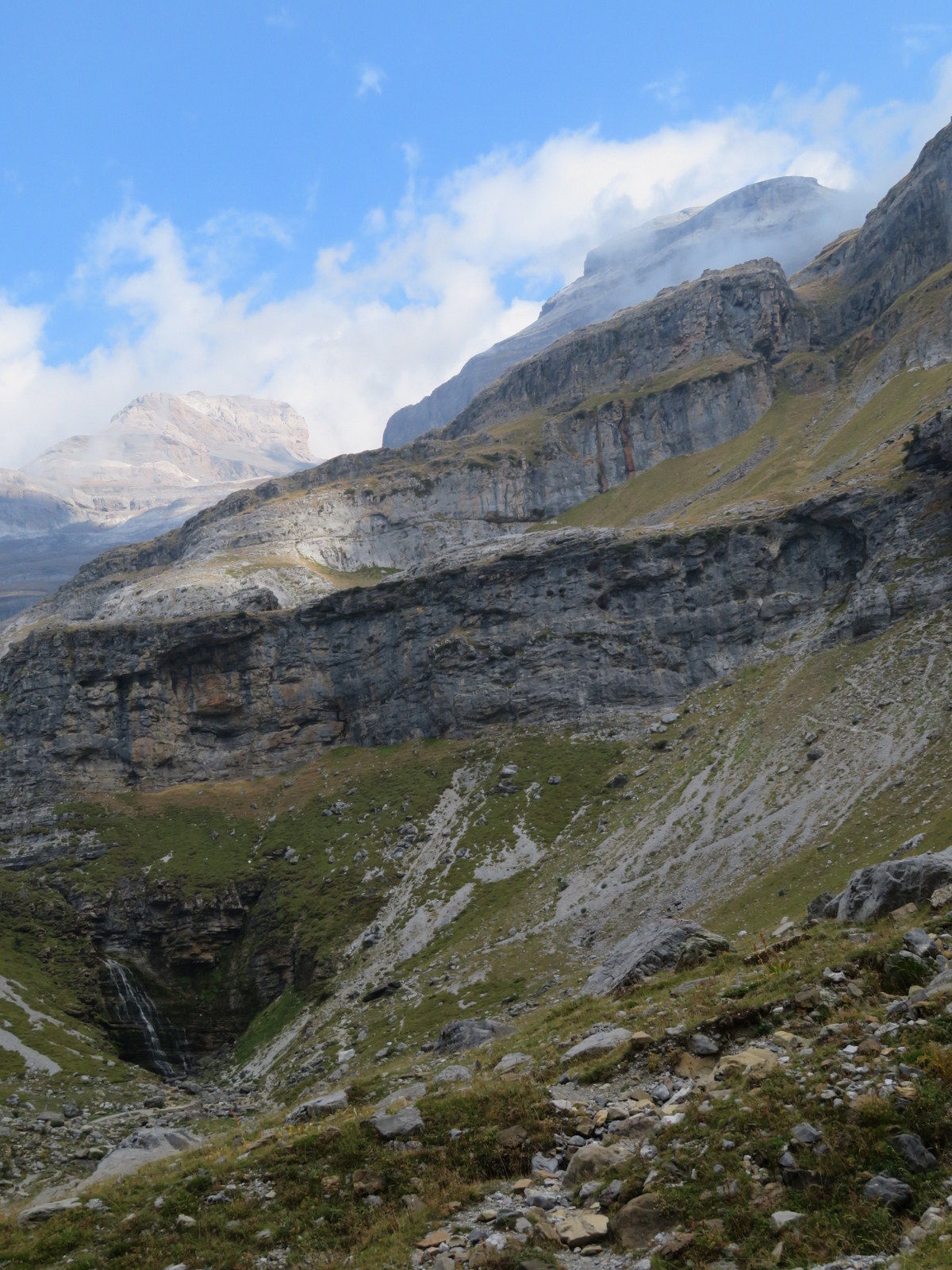
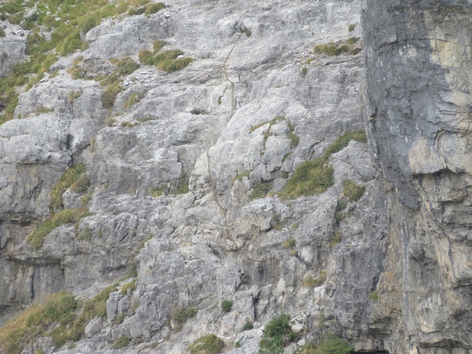


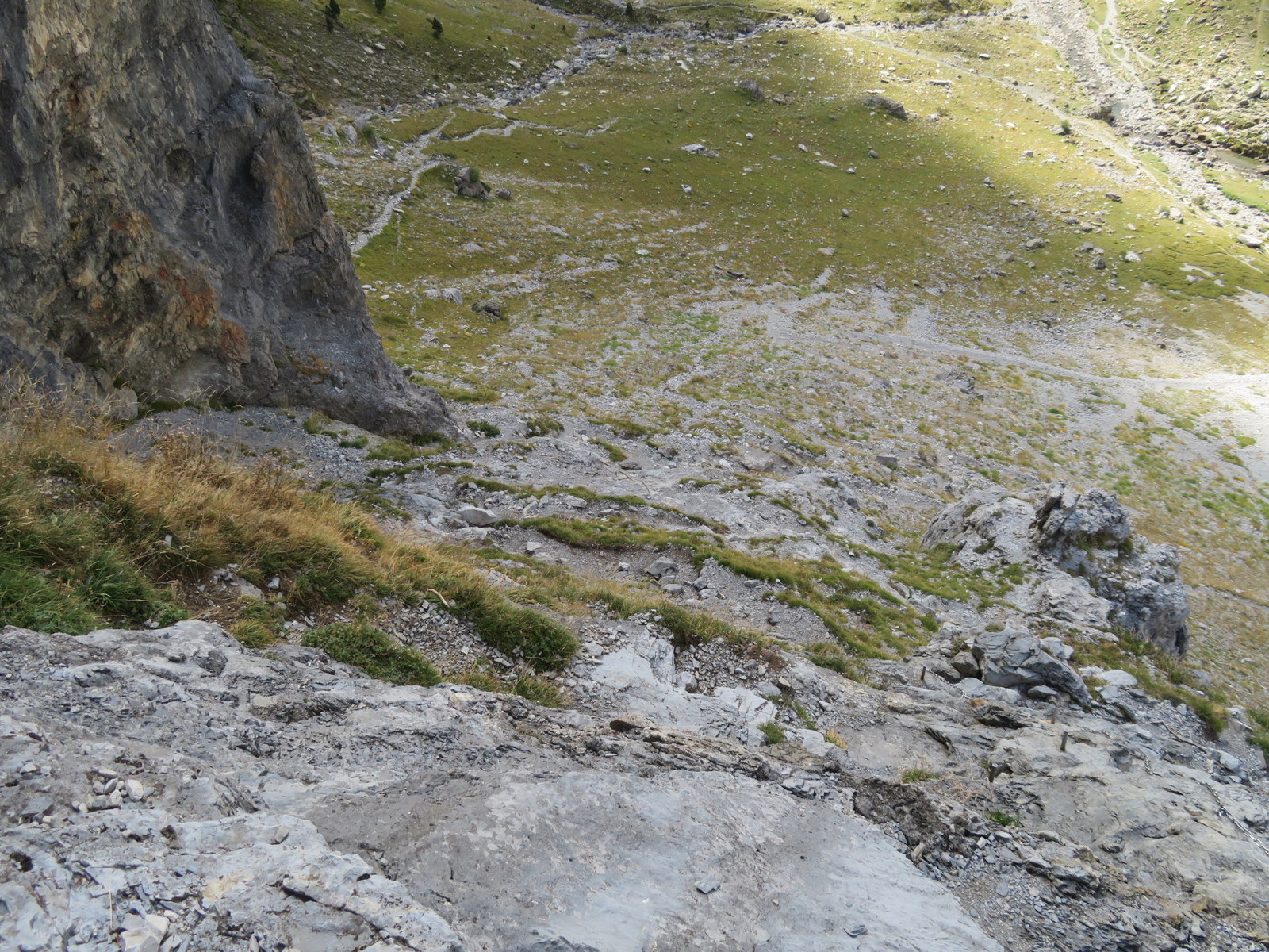
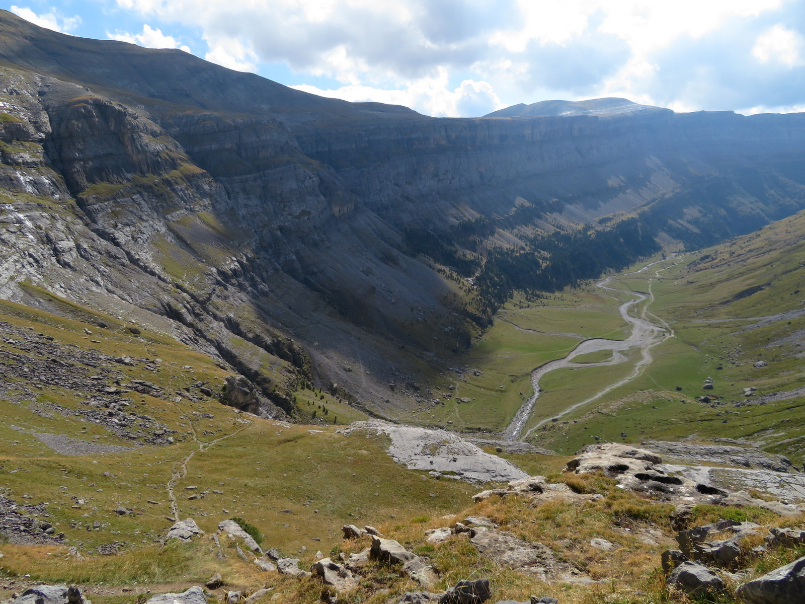


(Right) Refugio Goriz has 72 beds (bunk beds) in 3 separate rooms. It is a popular place, especially in the summer and so you better reserve a space in advance which can be done online. You can also reserve meals and packed lunches. When you check in, you will be assign a locker to put your stuff. To keep the place clean, you are required to change your outside boots into the clogs provided before entering the main part of the hut.


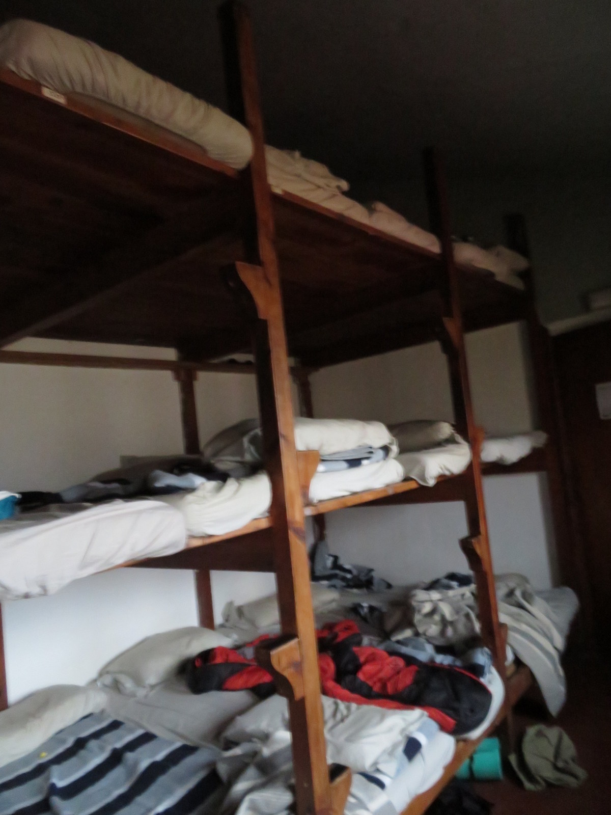
(Right) Bunks in the hut. Each space has barely enough space for a person. Pillows and blankets are provided. You are supposed to bring a sleeping liner. Of course you can bring your own sleeping bags. Both sexes sleep in the same quarters. 

Monte PerdidoNext morning we did a day hike further up the mountain towards Monte Perdido. 


 ; ;

Valle de PinetaWe drove from Torla to Valle de Pineta on the western edge of the Odessa National Park. We stayed in the Parador de Bielsa, a nice stone hotel at the head of Valle de Pineta. After 3 days of hiking, it is nice to have a nice hot shower and eat in a real restaurant.


The next day, we did a loop hike in the valley.


(Right) This is one of the few times that the OpenStreet Map app failed me. We were supposed to follow the Camino Montaspro (light dash brown line) but the light blue line is the actual GPS track that we took. The large discrepancies created some anxiety at the time. We couldn't afford to get on the wrong trial. We have to keep looking ahead in the trail for markers. Luckily the trail is relatively well-marked.


|