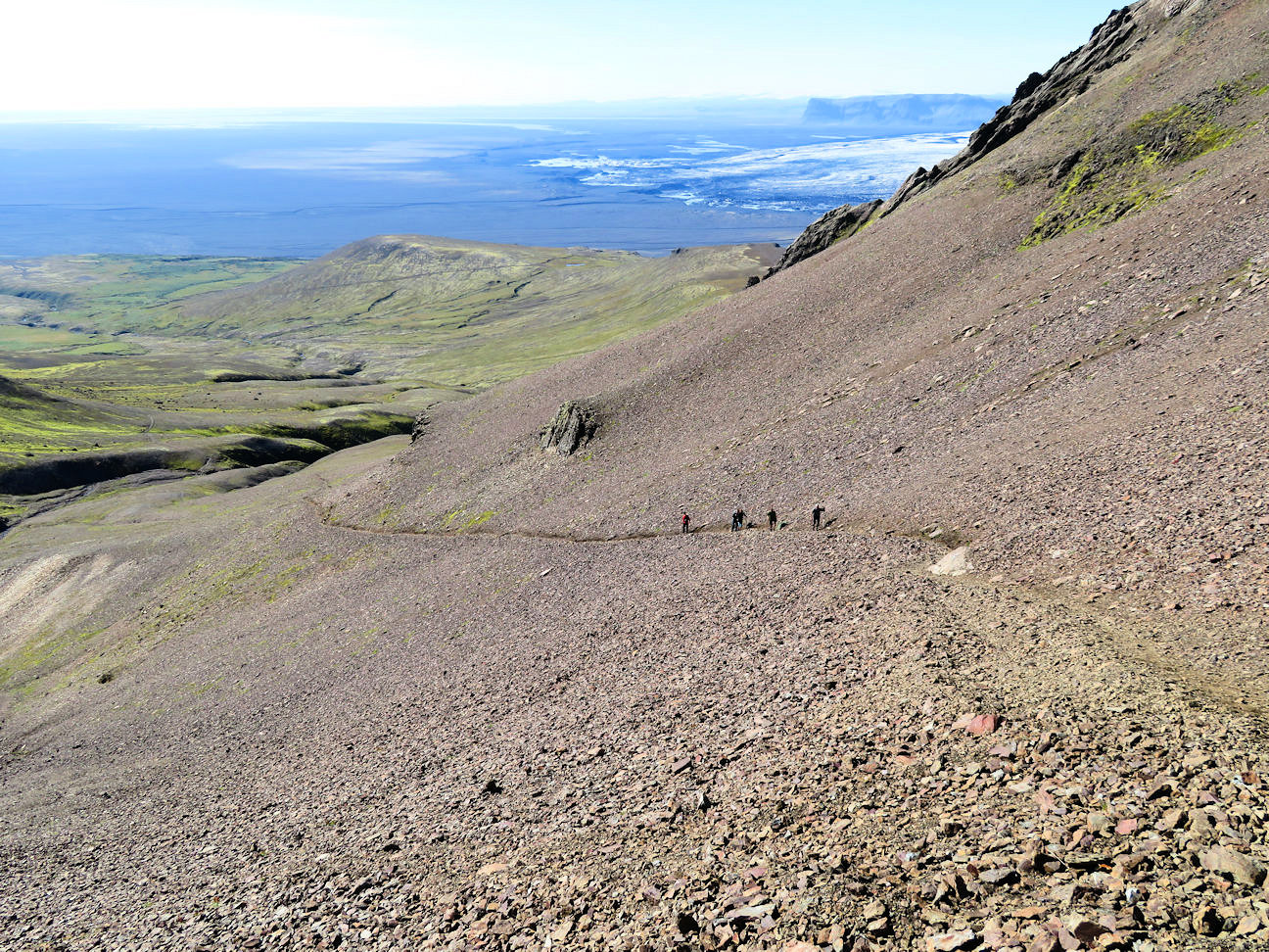
Landmannalaugar to Skaftafell National ParkThe next morning we backtracked Route F26 to the Ring Road and turned eastward towards Skaftafell National Park. The landscape is less bleak than inland.
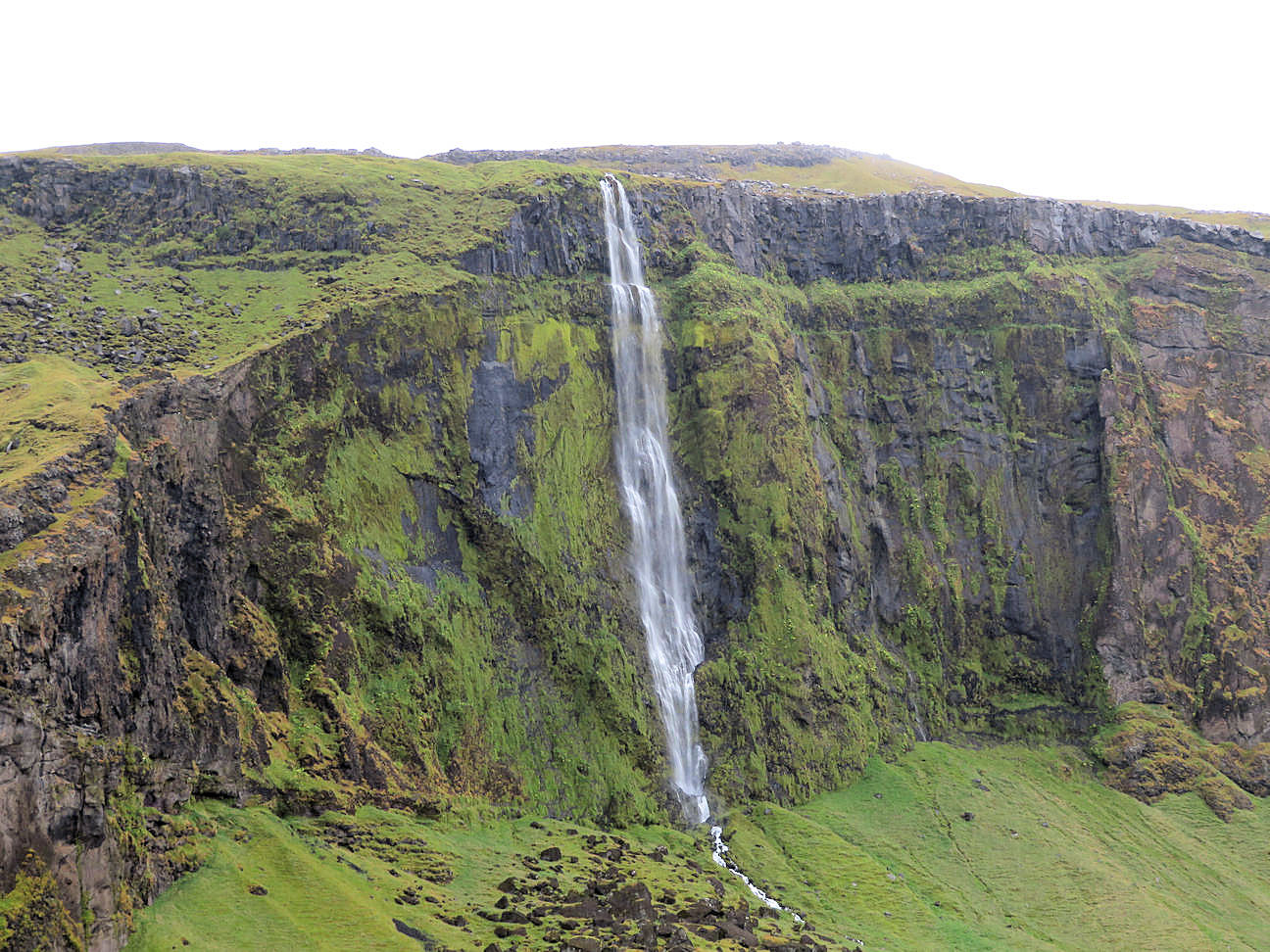


Skaftafell National ParkAfter Vik, we drove for hours on a delta/plain of sandar (silt, sand and gravel carried down by glacier bursts from volcanic activities) with occasional cliffs sticking up in the distance. We were about half way through our trip and all was going well. Extremely lucky that we have had driving/bus days when it has rained. It can be quite chilly and windy when it rains and even sometimes when sunny.


We did a fantastic hike up Kristinartindar (3694 ft) in the Skaftafell National Park. We hiked all the way to top, even though the last 200 ft seemed very dicey with slippery rock underfoot. From there, we could see a glacier below to the east, all rippled, wrinkled and corrugated with both turquoise and white ice and lines of dirt. Overall, this was our longest hike, maybe 13 miles. After reaching the summit and then having fantastic views of the glacier on the way down, there was a final stretch on an annoying trail with too much vegetation - it went on and on and we could not tell how long to the end.


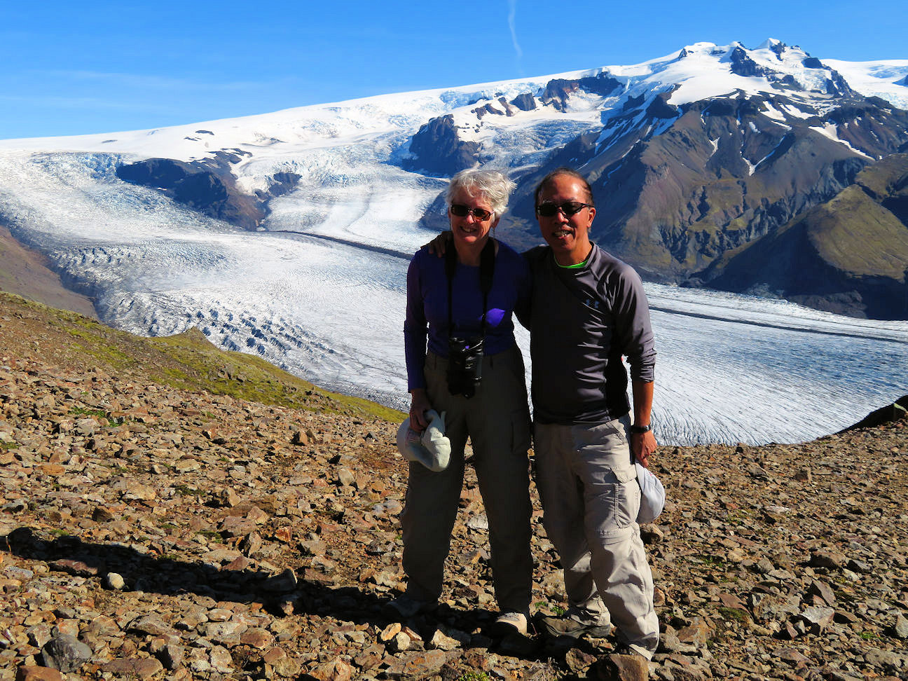
The vastness of the mountains and glaciers can be appreciated in a video taken at the summit
Sign Guestbook Back to Home Page Reykjavik Heimaey Landmannalaugar |